We aim to optimise the use of new technology, including geospaitial technologies for evidence-based decision making, and to support coherence for the 2030 agenda.

Pillars
Satellite Analysis and Applied Research (UNOSAT)
Highlights
Satellite Imagery Analysis
The increase in the occurrences of disasters and the high numbers of victims of conflicts are urgent issues that require effective and rapid action. In 2022, through the United Nations Satellite Centre (UNOSAT), we continued to promote evidence-based decision-making for peace, security, and resilience using geo-spatial information technologies.
Mapping
In addition to trained beneficiaries, we continued to deliver other important services, including more than one thousand geospatial derived products to partners in 70 countries. We delivered about half of these products through our Emergency Mapping Service, in support of 18 organizations and 6 National Governments.
Major Activations
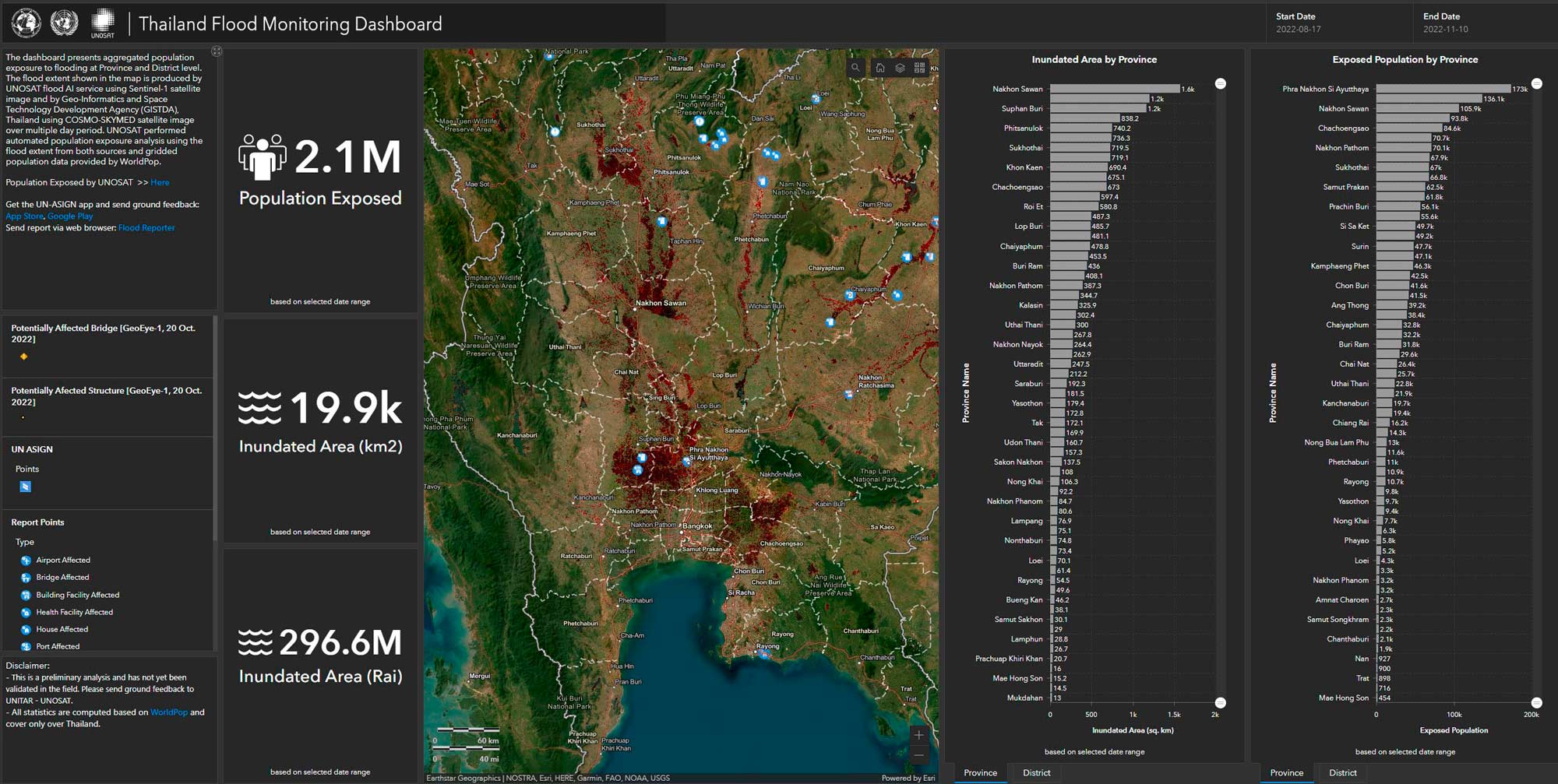
Among the 72 occasions in which our Emergency Mapping Service was activated, was the tsunami in the pacific. The tsunami was caused by the volcanic eruption of Hunga Tonga-Hunga Ha’apai in January 2022, the largest recorded since the eruption of Krakatoa in 1883. The products shared were used by partners such as UNOCHA to support response operations. In August, when Pakistan’s 2022 monsoon season produced devastating floods, affecting millions of people, we also supported emergency response by delivering 7 preliminary situation assessments and 13 comprehensive impact/damage assessments.
Beneficiary Highlight

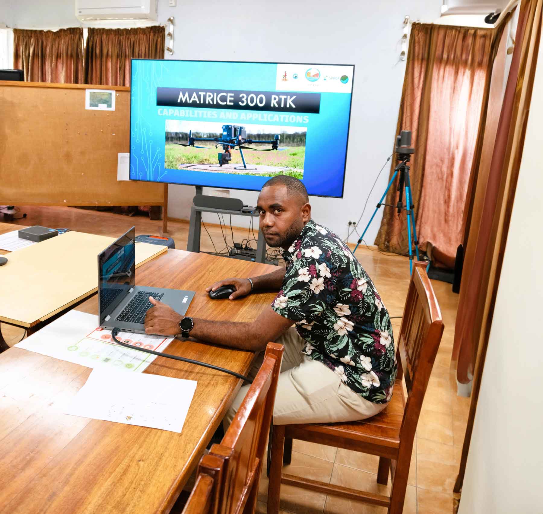
“Now we can plan new resilient infrastructure projects that ensure our people’s safety.”
Raviky Talae Sanjeewa
Vanuatu
